

MSc Project
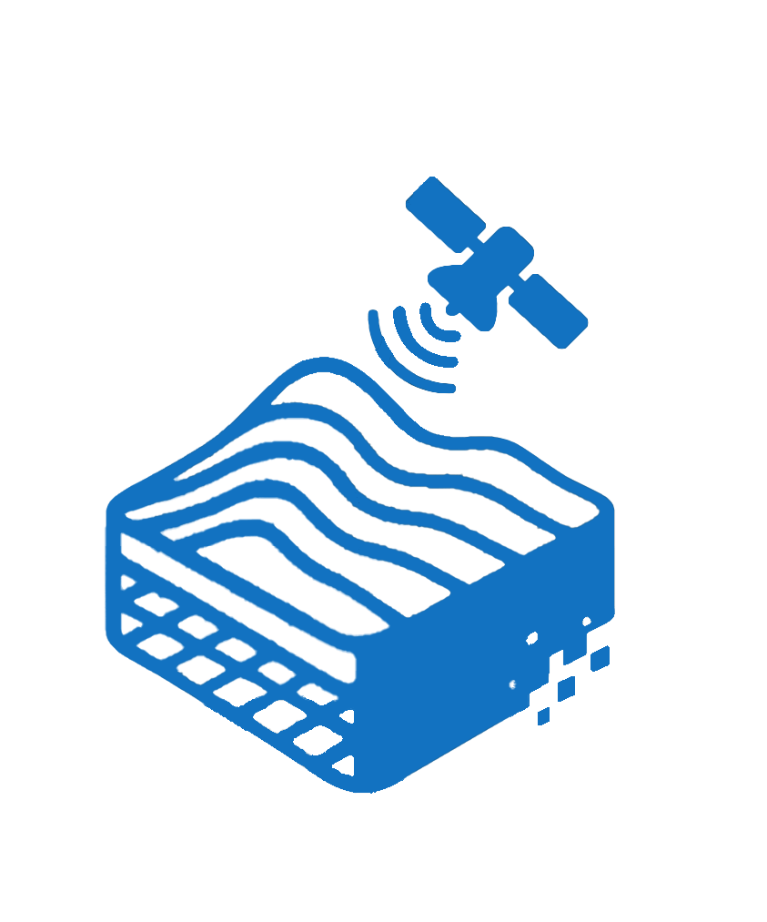
An Integrated Multisensor Workflow for 3D Geological Analysis of the Vaca Muerta Formation
We developed a scalable remote sensing workflow that integrates UAV photogrammetry, LiDAR, and VNIR–SWIR hyperspectral imaging. Deployed over Argentina’s Vaca Muerta Formation, the system maps stratigraphic units and mineral distributions critical for hydrocarbon exploration within a 3D geospatial visualization platform.
ETH Talent Kick Project
Geospatial Risk Modeling of Subsidence-Related Hazards in Mining-Affected Terrains
This study developed an integrated geospatial workflow to assess ground instability in mining-impacted regions, combining remote sensing, geophysical data (e.g., magnetometry, gravity anomalies), and DEM-based terrain analysis. A Physical Risk Index (PRI) delineates zones susceptible to subsidence. Results are rendered in a VR-based 3D platform to improve interpretation and communication, thereby supporting proactive environmental risk management.


Bachelor’s Thesis in Geology
Photogrammetric 3D Reconstruction and Virtual Reality Simulation of Glacial Rhythmite Structures at Varvito Geological Park (Brazil)
We applied high-resolution UAV photogrammetry and advanced remote sensing to model glacial rhythmites at Brazil’s Varvito Geological Park. The workflow combines UAV data acquisition, SfM photogrammetry, mesh retopology, and spatial texture projection to generate dense point clouds and detailed 3D meshes. The resulting digital outcrop model improves stratigraphic and sedimentological interpretation, enhancing geological communication and field simulation.
MBA Thesis
Landsat-based analysis of snowline and surface water dynamics (2004–2024) in the Cordillera Blanca, Tropical Andes
We analyzed two decades (2004–2024) of snow and surface water dynamics in Peru’s Cordillera Blanca using Landsat imagery, NDSI/NDWI classifications, and a 30 m DEM. The method captures interannual cryospheric variability and detects snowline elevation shifts of ±7.5 m. Results show episodic snow and water loss in 2009 and 2019, with partial recovery by 2024. Integrating classification masks with terrain data, the workflow enhances spatiotemporal visualization. Fully open-source, this approach supports scalable, reproducible monitoring for glacial hazard risk and mountain water resource planning.


Remote Sensing Researcher – Mars Analog Terrain Classification
Terrain classification in a Mars analog using radar–optical fusion: Sentinel-1 and Sentinel-2 in the Atacama Desert
We developed a lightweight terrain classification framework that integrates Sentinel-1 radar backscatter with Sentinel-2 spectral indices (NDWI, NDSI) to detect evaporitic and moisture-rich surfaces in hyperarid Mars analogs such as the Atacama Desert. Using Boolean logic and fixed thresholds, the method classifies four terrain types with high accuracy and cross-validates against Martian albedo data. Sensor-agnostic and low in processing demands, the framework is transferable to planetary missions, enabling onboard terrain triage under bandwidth and power constraints.
Research Assistantship (Undergraduate Level)
Mapping burn severity and post-fire vegetation recovery in Brazil’s Pantanal wetlands using Landsat imagery
We used Landsat-based spectral indices (NBR, dNBR) to map burn severity and post-fire vegetation recovery in Brazil’s Pantanal wetlands from 2020 to 2025. The open-access, reproducible workflow classifies fire impact and regrowth across diverse floodplain ecosystems, emphasizing spatial heterogeneity. Designed for use with standard tools, it generates actionable maps for fire management, ecological restoration, and policy-making in resource-limited settings, though accuracy remains constrained by the lack of field validation.

