
 Status
Status: Main article accepted for publication in Geomatics, Natural Hazards and Risk (2025) DOI: https://doi.org/10.1080/19475705.2025.2596879
Overview
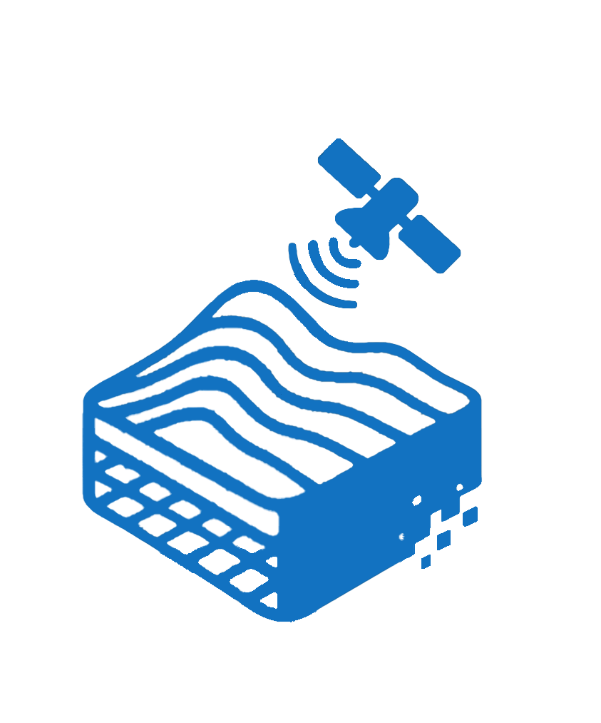
Ground subsidence in mining areas threatens infrastructure and public safety. We developed a geospatial risk model integrating remote sensing, geophysics (magnetometry, gravity), and DEM-based terrain metrics. The model includes a Physical Risk Index (PRI) to map potential ground instability zones. Results are visualized in virtual reality to support intuitive exploration and proactive risk mitigation. The GIS-based workflow is scalable and suitable for legacy mine sites without field access.
Methodology Highlights
Sentinel-2 imagery and DEMs for slope and hydrological analysis
Magnetometric and gravimetric anomaly integration
TPI (Topographic Position Index) and curvature for microtopographic detection
Multi-criteria Physical Risk Index (PRI) combining five weighted geofactors
VR-based visualization using Unreal Engine for spatial communication
Terrain segmentation and 3D surface reconstruction from satellite-derived models
Key Results
Detected >10 subsidence-prone zones with PRI scores above 0.75
Identified spatial correlation between gravity lows and terrain deformation
Workflow requires no ground survey, increasing applicability in inaccessible sites
VR environment improves communication with stakeholders and non-experts
Geological & Societal Relevance
We applied the model to a legacy mining site in southeastern Brazil, where past underground operations created undocumented voids and collapse risks. Combining remote sensing and geophysics revealed hazards even in urbanized and vegetated areas. The platform enables civil defense, environmental agencies, and municipalities to act proactively.


