 Status
Status: Main Article Under accepted in Remote Sensing Letters DOI: https://doi.org/10.1080/2150704X.2025.2591636.
Second Article Under review at
Experimental Astronomy 10/2025Overview
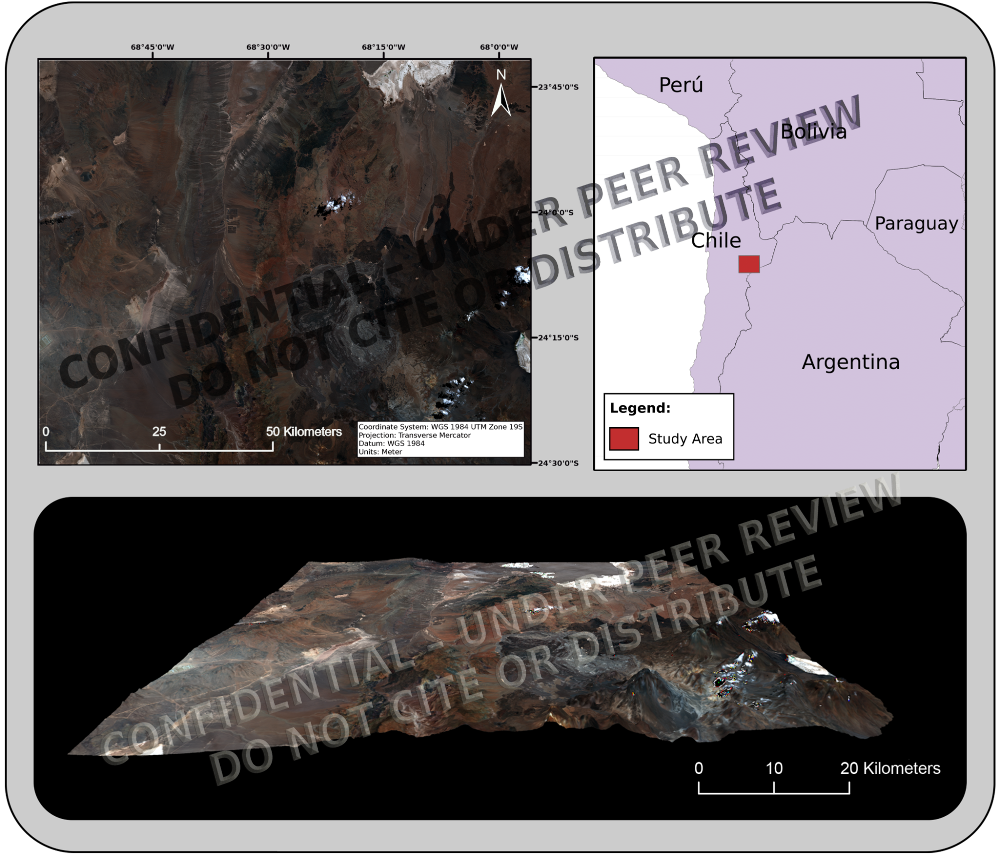
We present a lightweight remote sensing framework for autonomous terrain classification in Mars analog environments. The framework fuses Sentinel-1 HH radar backscatter with Sentinel-2 NDWI and NDSI indices to map evaporitic and moist terrains in Chile’s Atacama Desert, a key analog of Martian sulfate-rich regions like Meridiani Planum and Gale Crater. A rule-based approach removes the need for training data, allowing rapid onboard classification suited to bandwidth-limited missions and early rover operations.
Keywords
Mars analog, Sentinel-1, Sentinel-2, NDWI, NDSI, terrain classification, radar–optical fusion, planetary exploration, Atacama Desert
Methodology Highlights
Sentinel-1 (HH polarization) radar for dielectric surface properties
Sentinel-2 spectral indices (NDWI, NDSI) for salinity and moisture
Boolean rule-based classification with fixed thresholds
Processing in Python (rasterio, numpy, matplotlib), post-processing in Illustrator
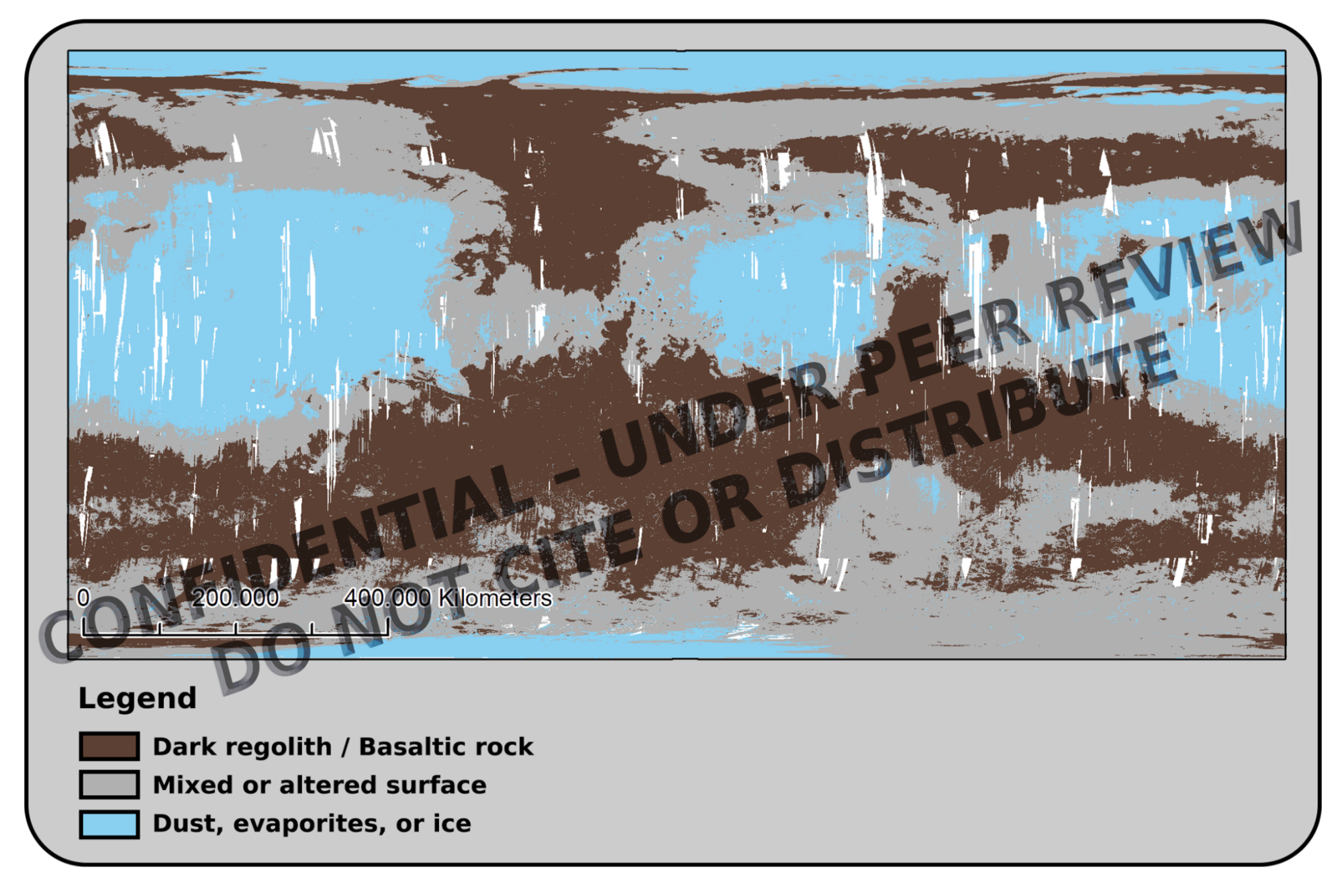
Spatial validation with OMEGA 1.08 μm albedo product
Key Results
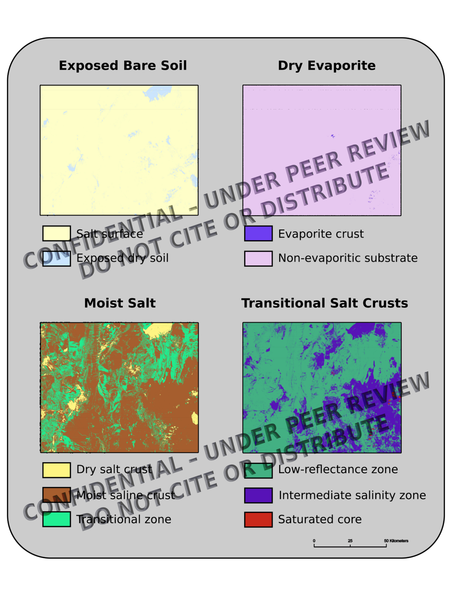
Classified four terrain types: moist salt crusts, dry evaporites, bare soil, transitional zones
Moist crusts covered ~70% of the area; dry evaporites ~5%
80% agreement between radar and spectral masks
Aligned with CRISM/OMEGA-relevant surface patterns on Mars
Executable without training data or field calibration
Planetary Science Relevance
This transferable method enables autonomous terrain classification under Martian mission constraints and supports onboard triage, pre-landing site screening, and resource-limited planetary exploration. Its sensor-agnostic architecture adapts to instruments such as CRISM and OMEGA, providing operational relevance for ExoMars and Mars Sample Return campaigns.


