 Status
Status: Published in Lecture Notes of the Institute for Computer Sciences (2024)
DOI: 10.1007/978-3-031-55312-7_3
Overview
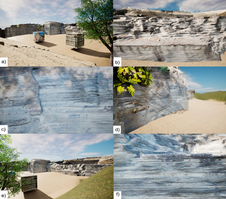
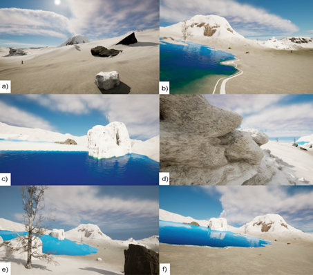
Communicating fine-scale sedimentary structures, such as rhythmites, is difficult in field settings due to their subtle expression. To address this, we developed a photogrammetry-based 3D reconstruction workflow coupled with virtual reality to improve geological interpretation and education. Using UAV imagery and Structure-from-Motion (SfM), we generated high-resolution digital outcrop models (DOMs) of glacial rhythmites at Brazil’s Varvito Geological Park. These models were converted into a VR simulation, enabling immersive exploration of lamination patterns and paleoenvironmental features.
Key-words
UAV photogrammetry, glacial rhythmites, 3D geological modeling, virtual reality, geoscience education, digital outcrops, sedimentary structures
Methodology Highlights
UAV-based aerial survey for high-density point cloud generation
Structure-from-Motion (SfM) photogrammetry for 3D model reconstruction
Mesh optimization and retopology for real-time rendering
UV mapping and texture baking for visual fidelity
Export to Unreal Engine for VR deployment
Integration of interpretive labels and interactive learning modules
Key Results
Generated detailed 3D mesh with <2 cm resolution across ~200 m² outcrop
Revealed fine-scale rhythmic layering not visible in orthophotos
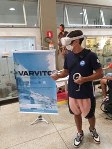
Enabled user-driven navigation and interpretation in VR environment
Demonstrated increased comprehension and engagement in educational settings
Geological & Educational Relevance
The Varvito outcrop records glaciolacustrine rhythmites deposited during the late Paleozoic glaciation of Gondwana. These sedimentary structures offer critical insights into past climate variability and cyclic deposition. By converting field data into an interactive VR simulation, the project advances both scientific analysis and geoscience outreach, providing a reproducible model for other geological heritage sites.


