First Author, Peer-Reviewed Articles
Geo-spatial Information Science
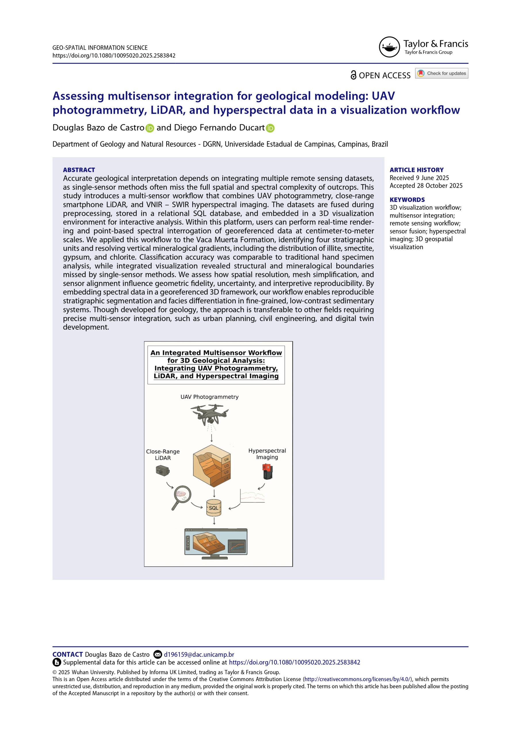
Assessing multisensor integration for geological modeling: UAVphotogrammetry, LiDAR, and hyperspectral data in a visualization workflow
Accurate geological interpretation depends on integrating multiple remote sensing datasets, as single-sensor methods often miss the full spatial and spectral complexity of outcrops. This study introduces a multi-sensor workflow that combines UAV photogrammetry, close-range smartphone LiDAR, and VNIR – SWIR hyperspectral imaging. The datasets are fused during preprocessing, stored in a relational SQL database, and embedded in a 3D visualization environment for interactive analysis. Within this platform, users can perform real-time rendering and point-based spectral interrogation of georeferenced data at centimeter-to-meter scales. We applied this workflow to the Vaca Muerta Formation, identifying four stratigraphic units and resolving vertical mineralogical gradients, including the distribution of illite, smectite, gypsum, and chlorite. Classification accuracy was comparable to traditional hand specimen analysis, while integrated visualization revealed structural and mineralogical boundaries missed by single-sensor methods. We assess how spatial resolution, mesh simplification, and sensor alignment influence geometric fidelity, uncertainty, and interpretive reproducibility. By embedding spectral data in a georeferenced 3D framework, our workflow enables reproducible stratigraphic segmentation and facies differentiation in fine-grained, low-contrast sedimentary systems. Though developed for geology, the approach is transferable to other fields requiring precise multi-sensor integration, such as urban planning, civil engineering, and digital twin development.
Remote Sensing Letters
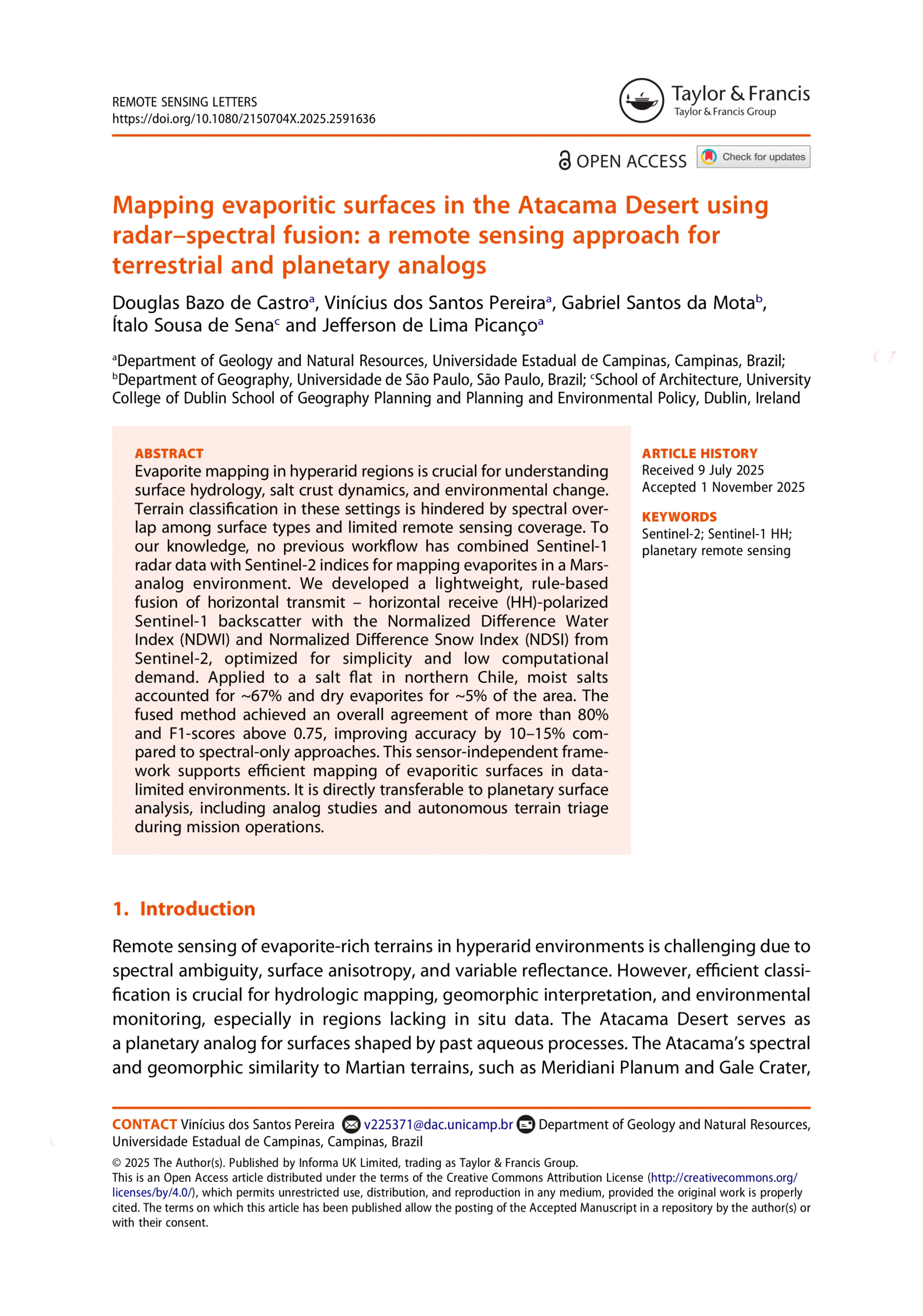
Mapping evaporitic surfaces in the Atacama Desert using radar–spectral fusion: a remote sensing approach for terrestrial and planetary analogs
Abstract. Evaporite mapping in hyperarid regions is crucial for understanding surface hydrology, salt crust dynamics, and environmental change. Terrain classification in these settings is hindered by spectral overlap among surface types and limited remote sensing coverage. To our knowledge, no previous workflow has combined Sentinel-1 radar data with Sentinel-2 indices for mapping evaporites in a Mars-analog environment. We developed a lightweight, rule-based fusion of horizontal transmit – horizontal receive (HH)-polarized Sentinel-1 backscatter with the Normalized Difference Water Index (NDWI) and Normalized Difference Snow Index (NDSI) from Sentinel-2, optimized for simplicity and low computational demand. Applied to a salt flat in northern Chile, moist salts accounted for ~67% and dry evaporites for ~5% of the area. The fused method achieved an overall agreement of more than 80% and F1-scores above 0.75, improving accuracy by 10–15% compared to spectral-only approaches. This sensor-independent framework supports efficient mapping of evaporitic surfaces in data-limited environments. It is directly transferable to planetary surface analysis, including analog studies and autonomous terrain triage during mission operations.
Geomatics, Natural Hazards and Risk (IN PRESS)
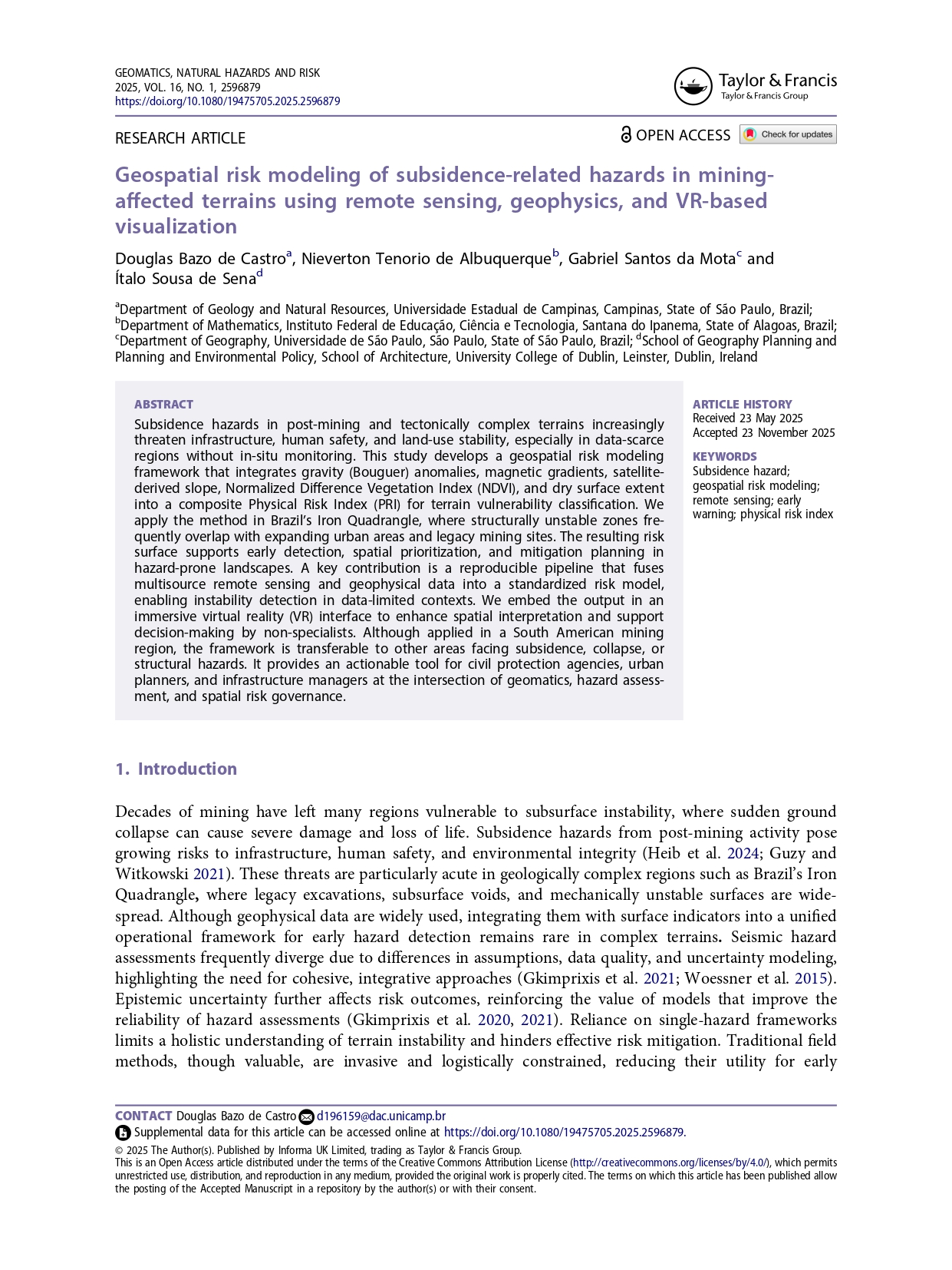
Geospatial Risk Modeling of Subsidence-Related Hazards in Mining-Affected Terrains Using Remote Sensing, Geophysics, and VR-Based Visualization
Abstract. Subsidence hazards in post-mining and tectonically complex terrains increasingly threaten infrastructure, human safety, and land-use stability, especially in data-scarce regions without in-situ monitoring. This study develops a geospatial risk modeling framework that integrates gravity (Bouguer) anomalies, magnetic gradients, satellite-derived slope, Normalized Difference Vegetation Index (NDVI), and dry surface extent into a composite Physical Risk Index (PRI) for terrain vulnerability classification. We apply the method in Brazil’s Iron Quadrangle, where structurally unstable zones frequently overlap with expanding urban areas and legacy mining sites. The resulting risk surface supports early detection, spatial prioritization, and mitigation planning in hazard-prone landscapes. A key contribution is a reproducible pipeline that fuses multisource remote sensing and geophysical data into a standardized risk model, enabling instability detection in data-limited contexts. We embed the output in an immersive virtual reality (VR) interface to enhance spatial interpretation and support decision-making by non-specialists. Although applied in a South American mining region, the framework is transferable to other areas facing subsidence, collapse, or structural hazards. It provides an actionable tool for civil protection agencies, urban planners, and infrastructure managers at the intersection of geomatics, hazard assessment, and spatial risk governance.
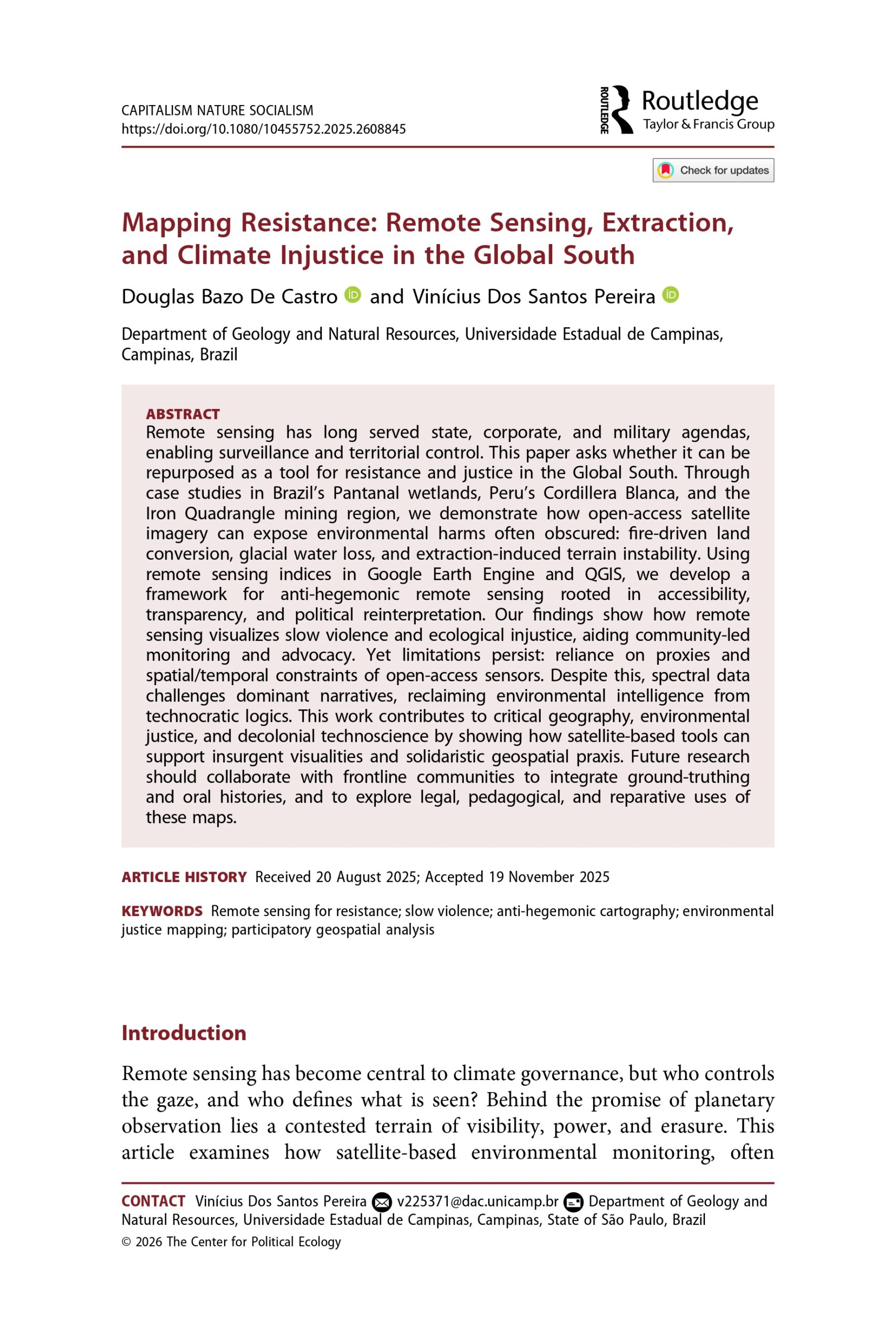
CAPITALISM NATURE SOCIALISM
Mapping Resistance: Remote Sensing, Extraction, and Climate Injustice in the Global South
Remote sensing has long served state, corporate, and military agendas, enabling surveillance and territorial control. This paper asks whether it can be repurposed as a tool for resistance and justice in the Global South. Through case studies in Brazil’s Pantanal wetlands, Peru’s Cordillera Blanca, and the Iron Quadrangle mining region, we demonstrate how open-access satellite imagery can expose environmental harms often obscured: fire-driven land conversion, glacial water loss, and extraction-induced terrain instability. Using remote sensing indices in Google Earth Engine and QGIS, we develop a framework for anti-hegemonic remote sensing rooted in accessibility, transparency, and political reinterpretation. Our findings show how remote sensing visualizes slow violence and ecological injustice, aiding community-led monitoring and advocacy. Yet limitations persist: reliance on proxies and spatial/temporal constraints of open-access sensors. Despite this, spectral data challenges dominant narratives, reclaiming environmental intelligence from technocratic logics. This work contributes to critical geography, environmental justice, and decolonial technoscience by showing how satellite-based tools can support insurgent visualities and solidaristic geospatial praxis. Future research should collaborate with frontline communities to integrate ground-truthing and oral histories, and to explore legal, pedagogical, and reparative uses of these maps.
First Author, Conference Papers
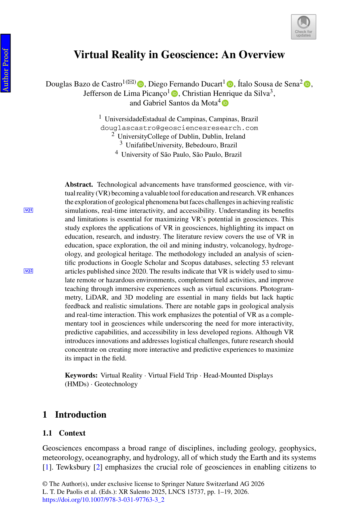
Lecture Notes in Computer Science (LNCS0
Virtual Reality in Geoscience: An Overview
Abstract. Technological advancements have transformed geoscience, with virtual reality (VR) becoming a valuable tool for education and research. VR enhances the exploration of geological phenomena but faces challenges in achieving realistic simulations, real-time interactivity, and accessibility. Understanding its benefits and limitations is essential for maximizing VR’s potential in geosciences. This study explores the applications of VR in geosciences, highlighting its impact on education, research, and industry. The literature review covers the use of VR in education, space exploration, the oil and mining industry, volcanology, hydrogeology, and geological heritage. The methodology included an analysis of scientific productions in Google Scholar and Scopus databases, selecting 53 relevant articles published since 2020. The results indicate that VR is widely used to simulate remote or hazardous environments, complement field activities, and improve teaching through immersive experiences such as virtual excursions. Photogrammetry, LiDAR, and 3D modeling are essential in many fields but lack haptic feedback and realistic simulations. There are notable gaps in geological analysis and real-time interaction. This work emphasizes the potential of VR as a complementary tool in geosciences while underscoring the need for more interactivity, predictive capabilities, and accessibility in less developed regions. Although VR introduces innovations and addresses logistical challenges, future research should concentrate on creating more interactive and predictive experiences to maximize its impact in the field.
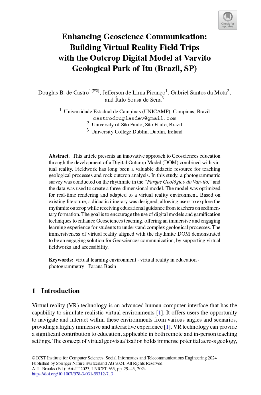
lecture notes of the institute for computer sciences
Enhancing Geoscience Communication: Building Virtual Reality Field Trips with the Outcrop Digital Model at Varvito Geological Park of Itu (Brazil, SP)
Abstract. This article presents an innovative approach to Geosciences education through the development of a Digital Outcrop Model (DOM) combined with virtual reality. Fieldwork has long been a valuable didactic resource for teaching geological processes and rock outcrop analysis. In this study, a photogrammetric survey was conducted on the rhythmite in the “Parque Geológico do Varvito,” and the data were used to create a three-dimensional model. The model was optimized for real-time rendering and adapted to a virtual reality environment. Based on existing literature, a didactic itinerary was designed, allowing users to explore the rhythmite outcrop while receiving educational guidance from teachers on sedimentary formation. The goal is to encourage the use of digital models and gamification techniques to enhance Geosciences teaching, offering an immersive and engaging learning experience for students to understand complex geological processes. The immersiveness of virtual reality aligned with the rhythmite DOM demonstrated to be an engaging solution for Geosciences communication, by supporting virtual fieldworks and accessibility
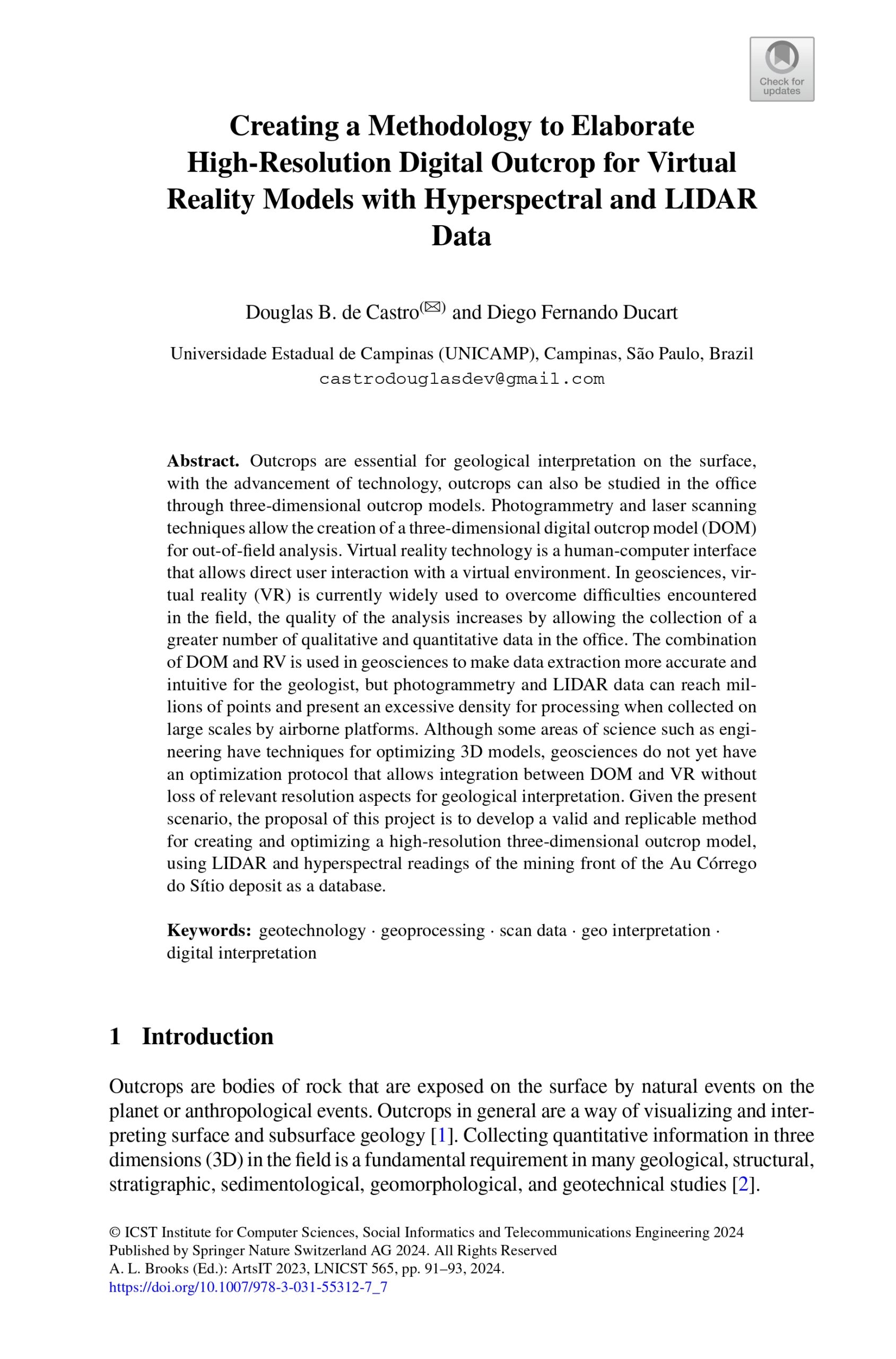
lecture notes of the institute for computer sciences
Creating a Methodology to Elaborate High-Resolution Digital Outcrop for Virtual Reality Models with Hyperspectral and LIDAR Data
Abstract. Outcrops are essential for geological interpretation on the surface, with the advancement of technology, outcrops can also be studied in the office through three-dimensional outcrop models. Photogrammetry and laser scanning techniques allow the creation of a three-dimensional digital outcrop model (DOM) for out-of-field analysis. Virtual reality technology is a human-computer interface that allows direct user interaction with a virtual environment. In geosciences, virtual reality (VR) is currently widely used to overcome difficulties encountered in the field, the quality of the analysis increases by allowing the collection of a greater number of qualitative and quantitative data in the office. The combination of DOM and RV is used in geosciences to make data extraction more accurate and intuitive for the geologist. Still, photogrammetry and LIDAR data can reach millions of points and present an excessive density for processing when collected on large scales by airborne platforms. Although some areas of science, such as engineering, have techniques for optimizing 3D models, geosciences do not yet have an optimization protocol that allows integration between DOM and VR without loss of relevant resolution aspects for geological interpretation. Given the present scenario, this project proposes to develop a valid and replicable method for creating and optimizing a high-resolution three-dimensional outcrop model, using LIDAR and hyperspectral readings of the mining front of the Au Córrego do Sítio deposit as a database.
Other Publications
Capitalism Nature Socialism
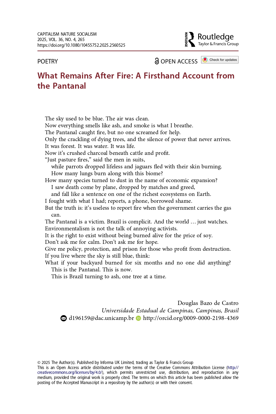
What Remains After Fire: A Firsthand Account from the Pantanal
Poetry
The sky used to be blue. The air was clean.
Now everything smells like ash, and smoke is what I breathe.
The Pantanal caught fire, but no one screamed for help.
Only the crackling of dying trees, and the silence of power that never arrives.
It was forest. It was water. It was life.
Now it’s crushed charcoal beneath cattle and profit.
“Just pasture fires,” said the men in suits,
while parrots dropped lifeless and jaguars fled with their skin burning.
How many lungs burn along with this biome?
How many species turned to dust in the name of economic expansion?
I saw death come by plane, dropped by matches and greed,and fall like a sentence on one of the richest ecosystems on Earth.
I fought with what I had; reports, a phone, borrowed shame.
But the truth is: it’s useless to report fire when the government carries the gas can.
The Pantanal is a victim. Brazil is complicit. And the world … just watches.
Environmentalism is not the talk of annoying activists.
It is the right to exist without being burned alive for the price of soy.
Don’t ask me for calm. Don’t ask me for hope.
Give me policy, protection, and prison for those who profit from destruction.
If you live where the sky is still blue, think:
What if your backyard burned for six months and no one did anything? This is the Pantanal. This is now.
This is Brazil turning to ash, one tree at a time.
Conferences
![[IGC 2024] Certificate of Presentation_Douglas DE CASTRO-1 [IGC 2024] Certificate of Presentation_Douglas DE CASTRO-1](https://geosciencesresearch.com/wp-content/uploads/2025/06/IGC-2024-Certificate-of-Presentation_Douglas-DE-CASTRO-1.png)
Lecture Notes in Computer Science LNCS (ACCEPTED)
Virtual Reality in Geoscience: An Overview
DOI coming in 08/13
Abstract. Technological advancements have transformed geoscience, with virtual reality (VR) becoming a valuable tool for education and research. VR enhances the exploration of geological phenomena but faces challenges in achieving realistic simulations, real-time interactivity, and accessibility. Understanding its benefits and limitations is essential for maximizing VR’s potential in geosciences. This study explores the applications of VR in geosciences, highlighting its impact on education, research, and industry. The literature review covers the use of VR in education, space exploration, the oil and mining industry, volcanology, hydrogeology, and geological heritage. The methodology included an analysis of scientific productions in Google Scholar and Scopus databases, selecting 53 relevant articles published since 2020. The results indicate that VR is widely used to simulate remote or hazardous environments, complement field activities, and improve teaching through immersive experiences such as virtual excursions. Photogrammetry, LiDAR, and 3D modeling are essential in many fields but lack haptic feedback and realistic simulations. There are notable gaps in geological analysis and real-time interaction. This work emphasizes the potential of VR as a complementary tool in geosciences while underscoring the need for more interactivity, predictive capabilities, and accessibility in less developed regions. Although VR introduces innovations and addresses logistical challenges, future research should concentrate on creating more interactive and predictive experiences to maximize its impact in the field.

lecture notes of the institute for computer sciences
Enhancing Geoscience Communication: Building Virtual Reality Field Trips with the Outcrop Digital Model at Varvito Geological Park of Itu (Brazil, SP)
Abstract. This article presents an innovative approach to Geosciences education through the development of a Digital Outcrop Model (DOM) combined with virtual reality. Fieldwork has long been a valuable didactic resource for teaching geological processes and rock outcrop analysis. In this study, a photogrammetric survey was conducted on the rhythmite in the “Parque Geológico do Varvito,” and the data were used to create a three-dimensional model. The model was optimized for real-time rendering and adapted to a virtual reality environment. Based on existing literature, a didactic itinerary was designed, allowing users to explore the rhythmite outcrop while receiving educational guidance from teachers on sedimentary formation. The goal is to encourage the use of digital models and gamification techniques to enhance Geosciences teaching, offering an immersive and engaging learning experience for students to understand complex geological processes. The immersiveness of virtual reality aligned with the rhythmite DOM demonstrated to be an engaging solution for Geosciences communication, by supporting virtual fieldworks and accessibility

